
SpatiX X5 Under Tree Canopy: Field Testing Centimeter-Level GNSS Positioning in Colombia
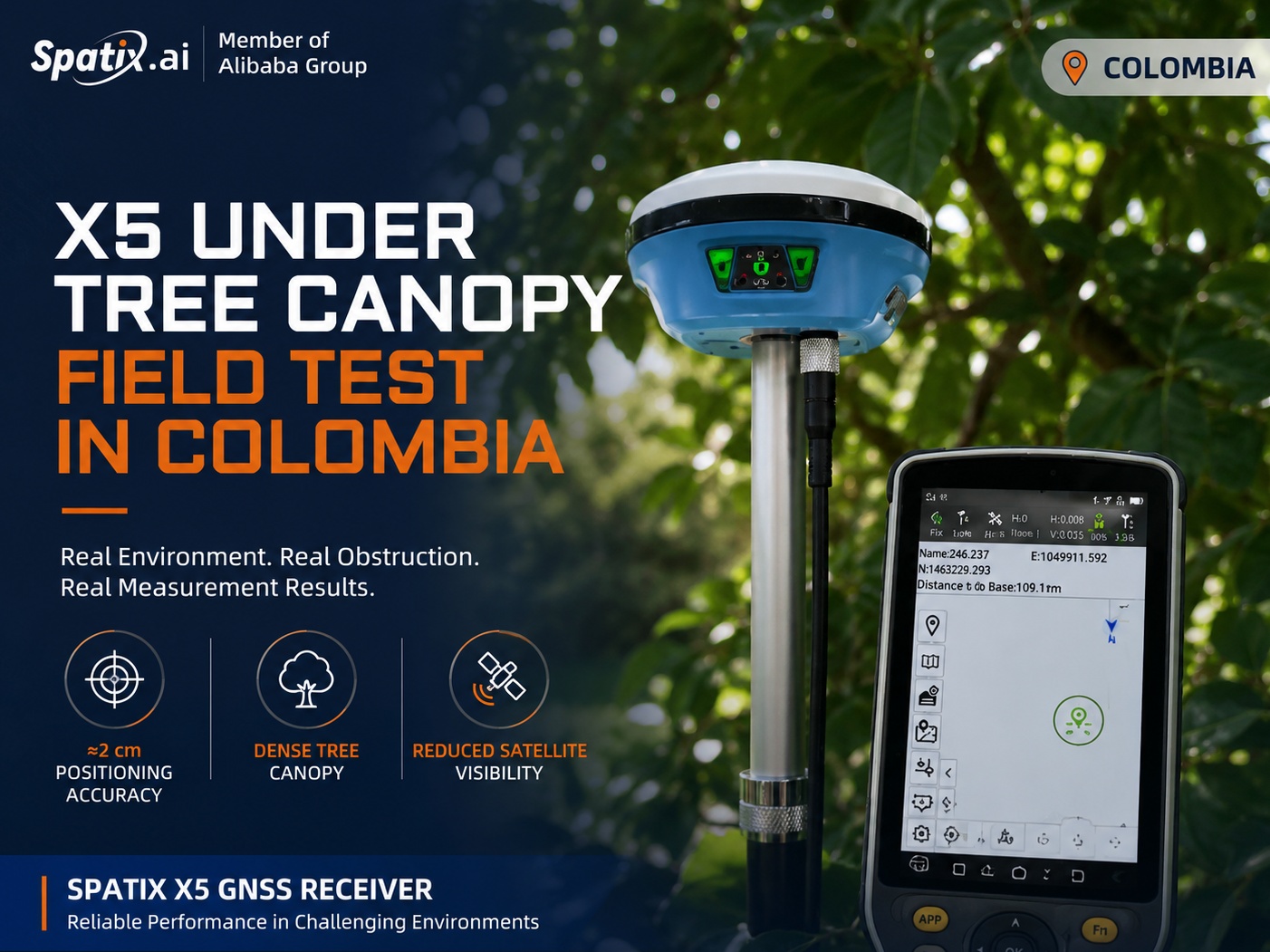
GNSS positioning can become more challenging when working beneath dense tree canopy. Trees and vegetation can obstruct satellite signals, reduce satellite visibility, and create more demanding conditions for high-precision positioning.
So, how does the SpatiX X5 GNSS receiver perform when the sky is no longer wide open?
To find out, SpatiX and its local partner Vertex Ingeniería conducted a field test in Colombia, taking the X5 into a densely vegetated environment to evaluate its positioning performance under real-world conditions.
Testing GNSS Positioning Under Dense Tree Canopy
During the field test, the team moved into shaded areas surrounded by dense vegetation and performed measurements with the SpatiX X5.
Unlike an open-sky environment, the tree canopy significantly reduced direct satellite visibility around the receiver. This created a practical test scenario for evaluating GNSS positioning performance in conditions that surveyors and other field professionals may encounter.
Despite the surrounding vegetation and reduced satellite visibility, the SpatiX X5 achieved approximately 2 cm positioning accuracy during the test.
The result demonstrates the X5's ability to deliver high-precision positioning in challenging field environments where satellite visibility may be partially obstructed.
Real-World Testing, Not Just Laboratory Performance
Field conditions are rarely perfect.
Surveyors may need to work around trees, buildings, uneven terrain, and other natural or man-made obstructions. For GNSS equipment, maintaining reliable positioning performance in these environments is an important part of practical field productivity.
The Colombia test is part of SpatiX's ongoing series of real-world X5 field tests, designed to evaluate the receiver across different environments and applications.
By testing the X5 in actual field conditions, SpatiX aims to provide users with a clearer understanding of how the receiver performs beyond controlled environments.
Approximately 2 cm Positioning Accuracy
One of the key results from this field test was approximately 2 cm positioning accuracy under tree canopy.
While GNSS performance can vary depending on satellite geometry, environmental conditions, correction services, and the degree of signal obstruction, the Colombia test provides a practical example of the X5 maintaining centimeter-level positioning performance in a challenging environment.
This capability can be valuable for professionals working in applications where open-sky conditions are not always available.
More Field Tests with SpatiX X5
The Colombia tree-canopy test is only one part of the ongoing X5 field-testing series.
From open areas to environments with natural obstructions, SpatiX continues to test the X5 in real working conditions to explore its positioning performance across different scenarios.
Real environment. Real obstruction. Real measurement results.
More SpatiX X5 field tests and application stories are coming soon.