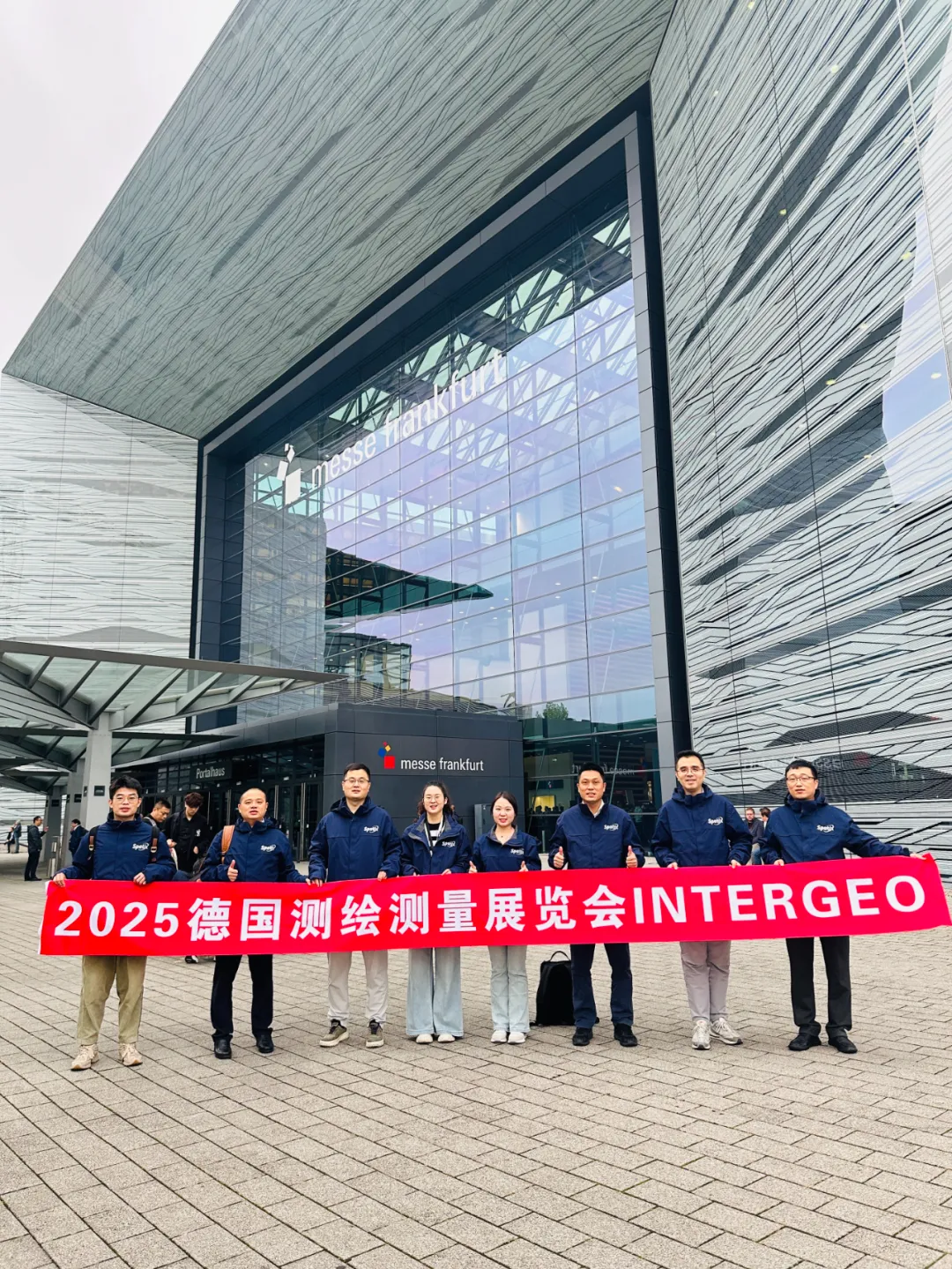
SpatiX Makes Debut at INTERGEO2025
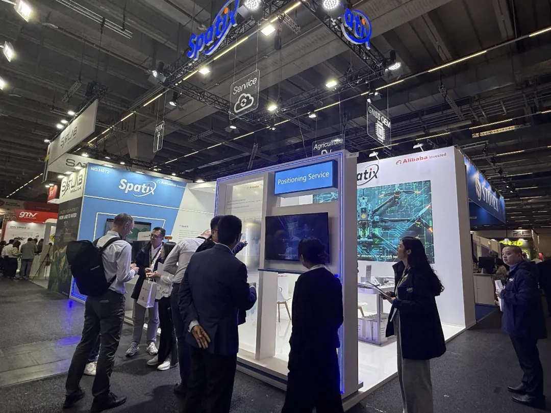
From October 7 to 9, 2025, INTERGEO2025, the most authoritative event in the global surveying, mapping and geospatial information industry, was held at the Frankfurt Exhibition Center in Germany. As a top-tier platform in the geospatial information field, this year's exhibition attracted 579 exhibitors and over 17,000 professional visitors from 121 countries. Making its first appearance at INTERGEO, SpatiX showcased a range of core products and solutions, demonstrating the innovative power of spatiotemporal intelligence to the world.
Cloud-Chip Integration: Core Support for Spatiotemporal Intelligence
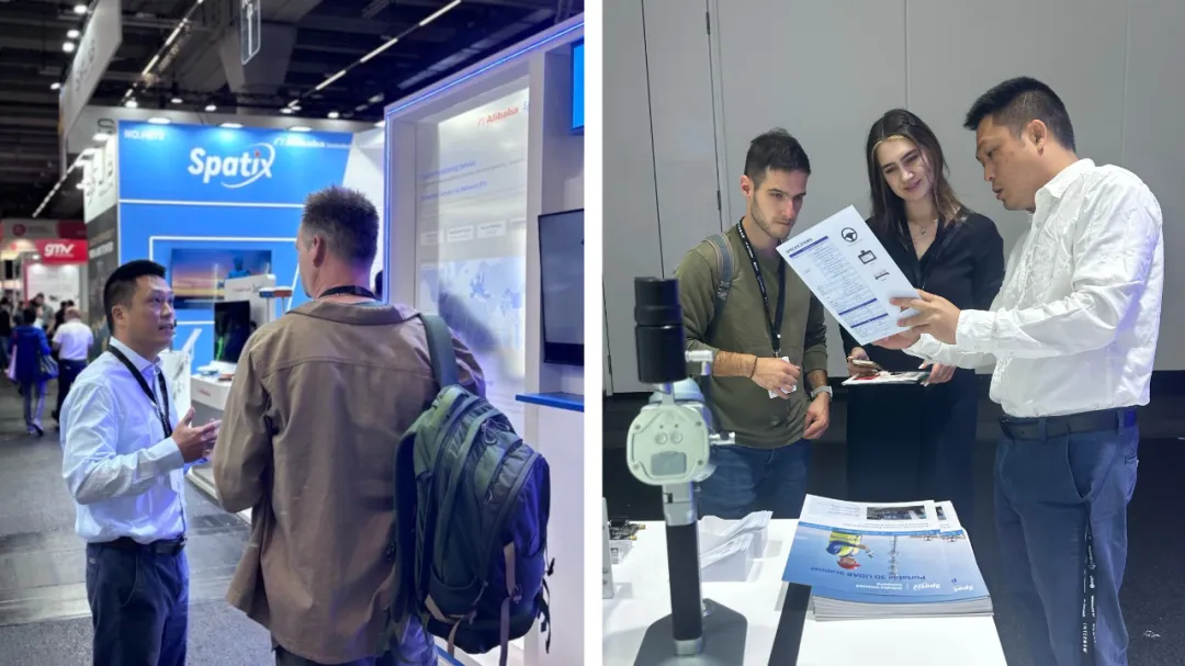
At the exhibition site, SpatiX's booth featured the "SpatiX Positioning Service" and the "Cloud-Chip Integration" as the core technical support.
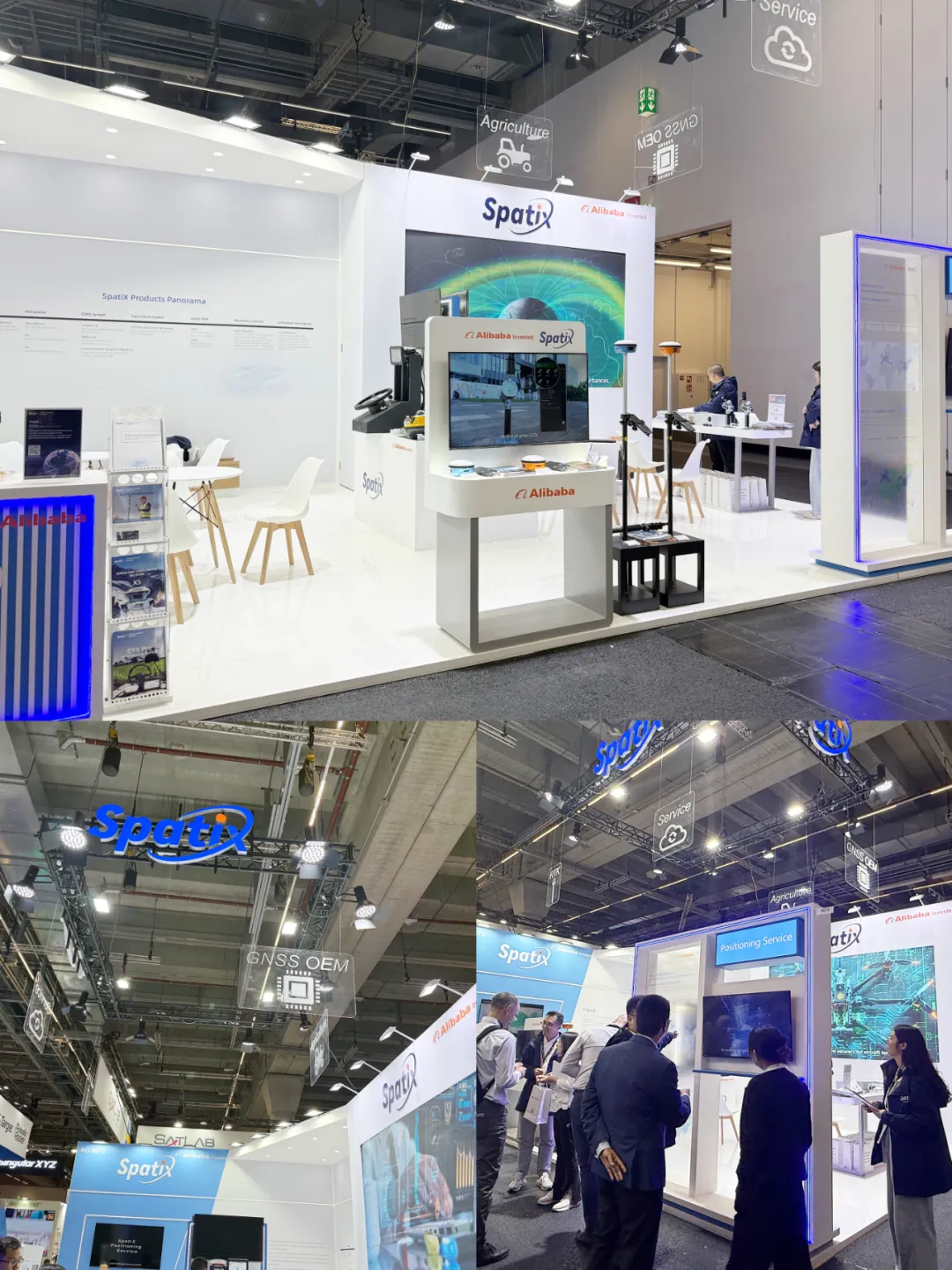
Exhibition Site
The "SpatiX Positioning Service" provides 24/7 global spatiotemporal intelligence services, including four types of services: accelerated positioning, network-based satellite augmentation, satellite-based augmentation, and ground-based augmentation. It is the industry's first global augmentation service integrating satellite and ground systems. This service enables hundreds of millions of terminals such as smart cars, drones, scooters, lawnmowers, and mobile phones to obtain accurate, secure, and reliable spatiotemporal intelligence capabilities worldwide.
Meanwhile, to enable terminals to intelligently process high-precision data provided by the cloud, SpatiX has significantly lowered the threshold for using Beidou spatiotemporal intelligence by continuously enhancing its full-stack independent R&D capabilities in "Cloud-Chip Integration".
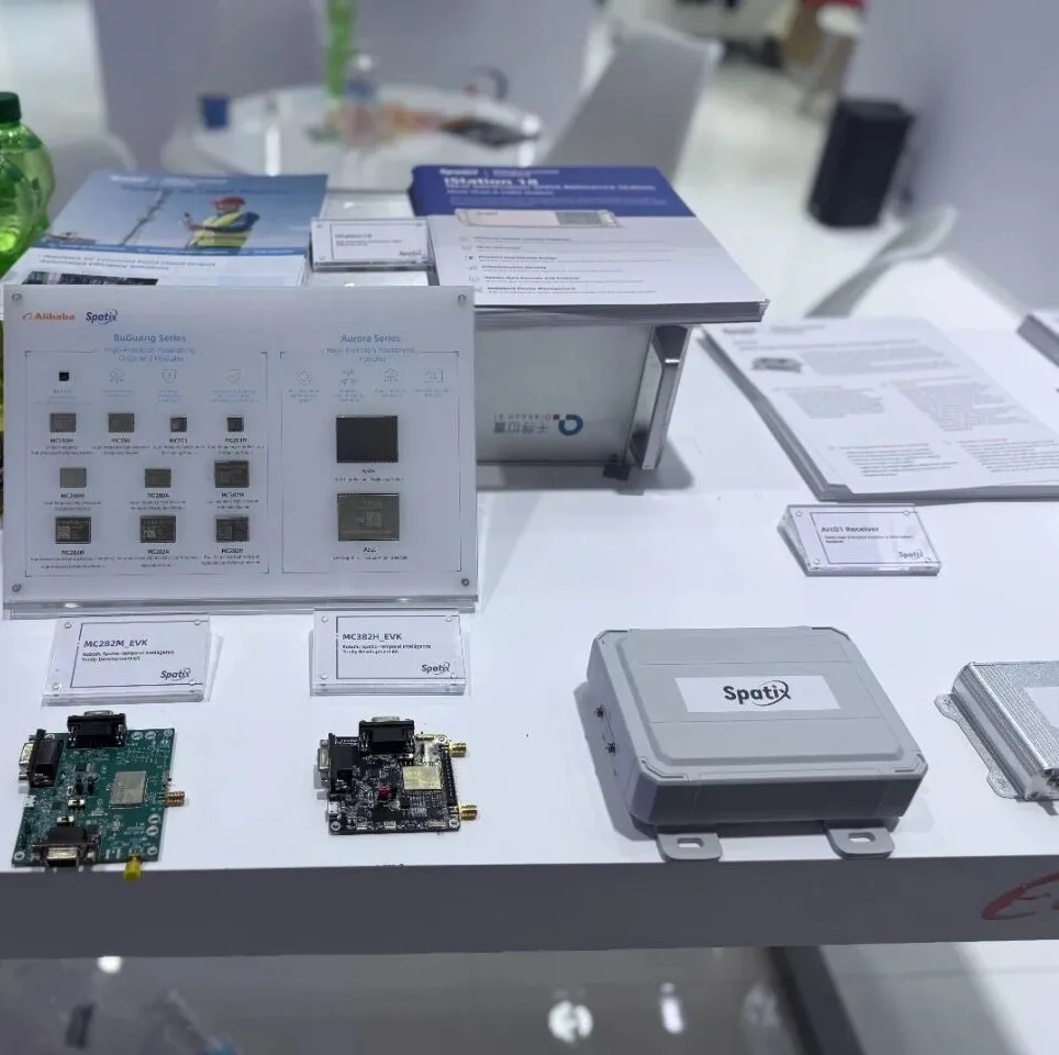
Spatiotemporal Intelligence Chip with "Cloud-Chip Integration"
Cloud-Chip Integration serves as the core support for SpatiX's technological advantages. Relying on more than 6,000 GNSS (Global Navigation Satellite System) satellite-based/ground-based augmentation stations worldwide, SpatiX has achieved global coverage of Beidou high-precision spatiotemporal intelligence services, with a total of over 2.4 billion connected terminal devices. In the process of serving hundreds of millions of terminals, it has accumulated world-leading algorithm capabilities. Taking ionospheric disturbances as an example, through long-term data accumulation and AI model training, SpatiX has developed a large atmospheric inference model, ensuring the continuous provision of highly available and high-precision spatiotemporal intelligence services during ionospheric disturbance periods.

A Variety of Products Unveiled at INTERGEO 2025
At this exhibition, SpatiX's booth demonstrated its full-link technological strength in the field of spatiotemporal intelligence, and a number of core exhibits attracted the attention of international visitors.
- RTK RECEIVER: This real-time kinematic centimeter-level service product can use AI to independently determine the characteristics of the user's operation scenario and intelligently switch between optimal services such as ground-based augmentation, network-based satellite augmentation, and satellite-based augmentation. It will comprehensively enhance the positioning experience in complex scenarios and further improve the quality and efficiency for industry users.
- H7 SLAM: With its compact size, H7 SLAM allows users to easily meet the surveying and mapping needs of small scenarios such as architectural mapping, forestry, municipal surveys, and tunnels.
- S1 USV: A single person can operate the S1 USV (Unmanned Surface Vessel) with ease. In scenarios such as waterway dredging, reservoir capacity calculation, emergency rescue and disaster relief, and various other underwater topographic surveying and mapping operations, it enables one-click planning of navigation routes and survey areas, simplifying field operation processes and saving labor and costs.

Left: Xinghe S1 Portable Unmanned Survey Vessel
The agricultural machinery navigation equipment equipped with SpatiX's "Satellite-Ground Integration" technology can effectively solve the signal problem of agricultural machinery automatic navigation systems. When the agricultural machinery automatic navigation equipment equipped with SpatiX's "Satellite-Ground Integration" service operates in areas with no or weak network coverage, it can seamlessly switch to satellite-based services and connect directly to satellite communications, realizing 24/7 all-weather accurate operations.
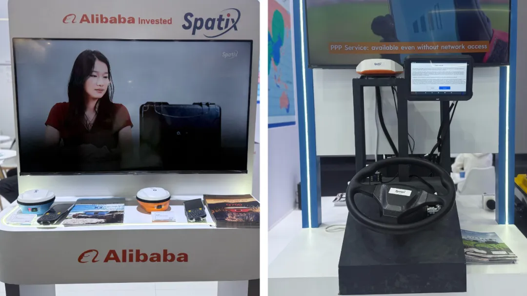
Left: RTK Equipment with Satellite-Ground Communication Service; Right: Satellite-Ground Integrated Agricultural Machinery Navigation Product
A relevant person in charge of SpatiX stated that the overseas debut of the SpatiX brand is an important milestone in Qianxun's globalization strategy. In the future, relying on the technological advantages of "Satellite-Ground Integration" and the concept of open ecological cooperation, SpatiX will provide better spatiotemporal intelligence services for global customers.